"Where we work, who we serve, and the impact we're making together."
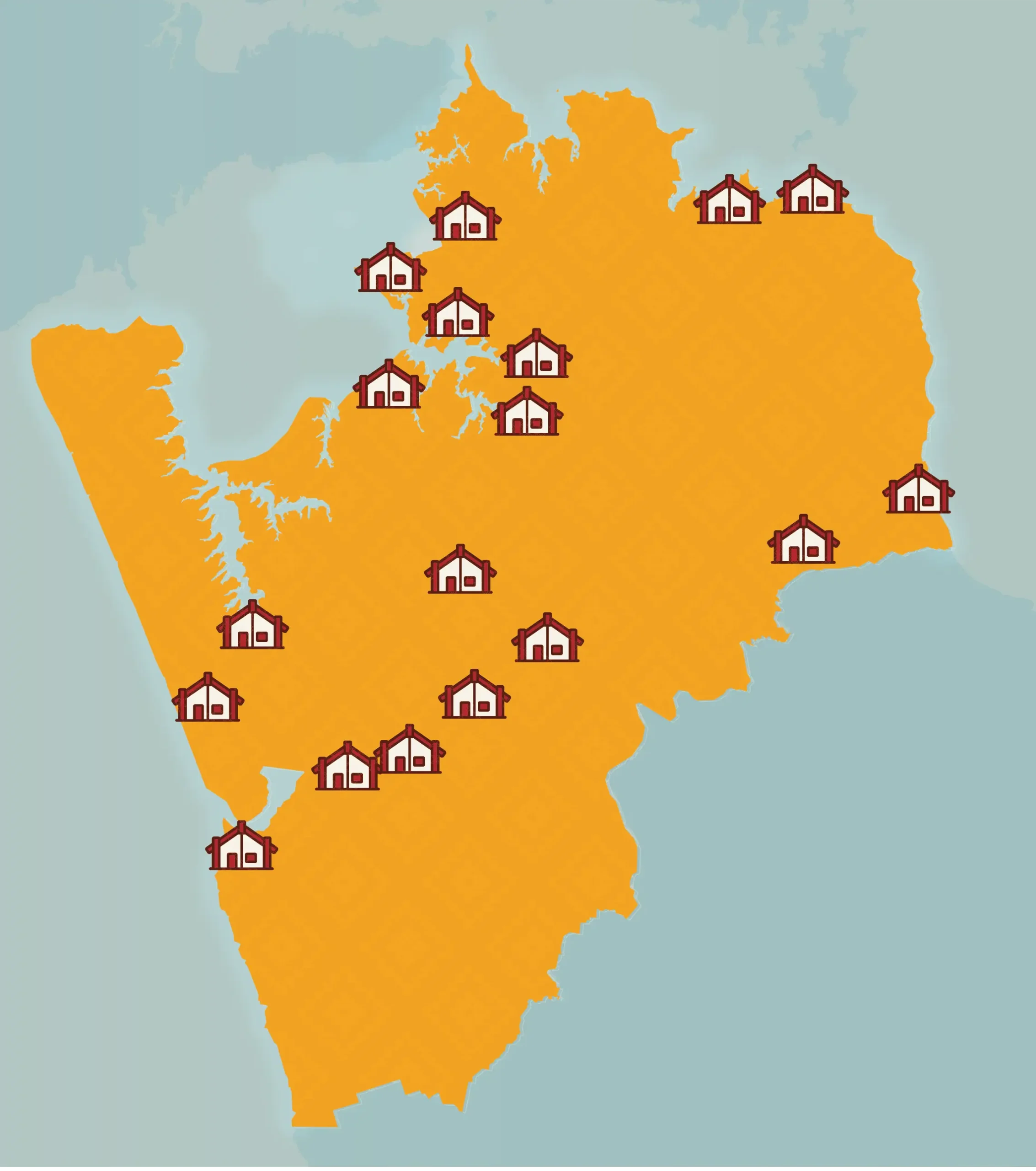
Our Geographical Boundary
Ngaa Pou Hauora oo Taamaki Makaurau Board draws on the geographical boundary of Huakina Development Trust, established in 1983. The process of producing boundary was determined by firstly locating marae/pā and papakāinga, then focusing specifically on the outer boundary to the North, South, East and West.
- Northwest: Āwhitu papakaainga (Āwhitu)
- Northern Central: Te Puea marae (Māngere)
- Northeast: Ruapōtaka marae (Glen Innes)
- Southeast: Makomako marae (Miranda)
- Southern central: Te Paina (Meremere)
- Southwest: Pukerewa marae (Waikaretu)
Each of these groups has deep roots in the takiwā and holds special connections to the whenua that go back many generations. Each has its own stories, marae, pā, and papakāinga.
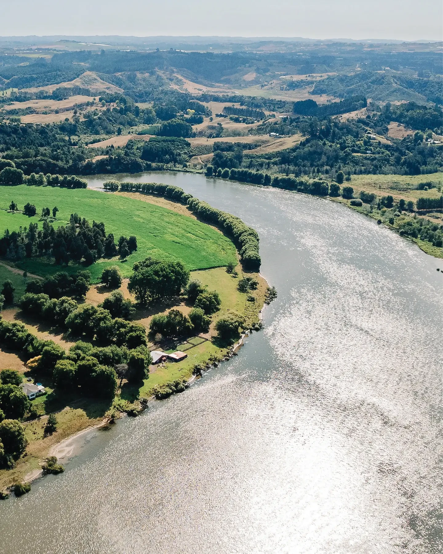
Regional Map
Our mahi is shaped by the whenua, the people, and the potential within our communities.
MAKAURAU Māngere
WHARENUI: Makaurau
MANGATANGI Mangatawhiri
WHARENUI: Marae Kirikiri
MANUREWA Manurewa
WHARENUI: Matukurua
MAUREA Rangariti
WHARENUI: Ngā Tumutumu o Rauwhitu
NGĀ TAI E RUA Tuakau
WHARENUI: Ngā Tai e Rua
NGĀTI KOHUA Kauri Bay
WHARENUI: Ngāti kohua
ŌRAEROA Port Waikato
WHARENUI: Whareroa
PAPAKURA Papakura
WHARENUI: Te Ngira
PŪKAKI Mangere
WHARENUI: Te Kahu Pokere o Tāmaki Makaurau
PUKEKOHE Pukekohe
WHARENUI: Ngā Hau e Whā
RERETEEWHIOI Waiuku
WHARENUI: Te iti o Waikato
TĀHUNA Waiuku
WHARENUI: Teuwira
TE PUEA Māngere Bridge
WHARENUI: Te Puea
TAURANGANUI Port Waikato
WHARENUI: Rangiwahitu
UMUPUIA Maraetai
WHARENUI: Ngeungeu
WAIKARE Te Kauwhata
WHARENUI: Ngāti Hine
WHAREKAWA (KAIAUA) Whakatiwai
WHARENUI: Paoa Whanaunga
TE AWAMARAHI Te Kohanga
WHARENUI: Te Ohaaki a Te Puea
TE KUMI PAA Te Kohanga
WHARENUI: Te Kotahitanga
WHĀTĀPAKA Waiuku
WHARENUI: Tamaoho